Project #1
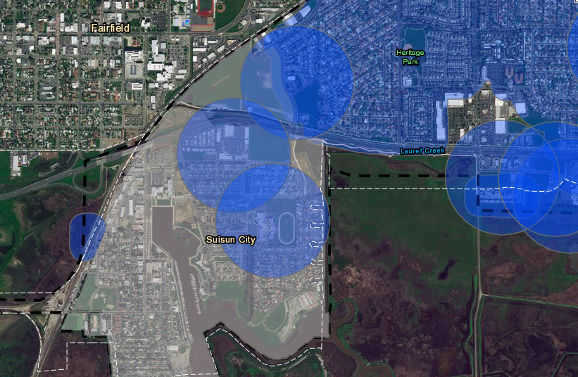
The maps below show blue 600FT buffer zones of schools and daycare centers, if any portion of the buffer hits a property in an eligible zone, it is ineligible. The sections colored purple and orange are the zones that allow Cannabis Retail.
The purpose of this map is to help prospective developers know which properties are eligible to develop a business on them or not.
Using ESRI story maps instead of a regular map helps the applicant zoom into the specific property and get a definite answer.
PROCESS
In order to get to the final map, I had to start by creating a 300 FT buffer of all residential zones and a 1000 FT buffer around schools and daycares. This gave Staff and myself an idea of which zones would be ideal for a dispensary.
City Council decided to split the application process into two timeframes, Downtown Specific Plan area second and the rest of the City first. The map below shows a zoomed in version of the map above.


